Taking Your Bike on the Nagaragawa Railway: Rinko Cycle Touring in Gujo
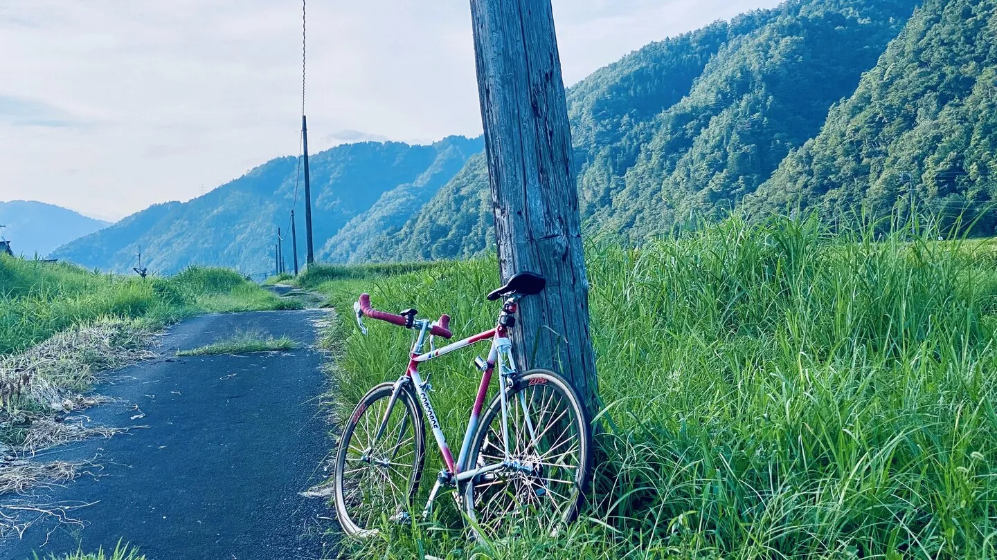
If you’re a cyclist planning a Japan trip and you’ve been searching for “rinko” rules, here’s a route that almost no English-language site covers: the Nagaragawa Railway — sometimes called the Nagara River Railway in English, since Nagaragawa literally means “Nagara River” — a one-car local line that runs 72 km up the Nagara River valley into Gujo, lets you bring your bike aboard — and the river valley it follows happens to carry an officially mapped 87 km cycling route, almost all of it gently downhill if you ride it the smart way. This page covers how the bike-on-train part actually works on this specific line, which stations are practical, and one realistic day plan.
One honest note up front: I’m a local cyclist and ride here regularly, but some details below (exact road distances, tunnel-by-tunnel conditions) are marked as unverified until I’ve re-surveyed them properly. Rural Japanese transit details change quietly, so treat the specifics as “confirm before you commit.”
Quick Answer: yes, you can bring a bike — bag it yourself in a rinko bag (or rent one for ¥500 at a staffed station) and board any regular train, no surcharge.
First, the rule that surprises visiting cyclists: the rinko bag
Japan’s trains generally do not allow you to roll a bicycle aboard the way many European railways do. The near-universal rule, on JR and most private lines alike, is called rinko (輪行): your bike must be partly disassembled or folded and fully enclosed in a dedicated carrying bag (a rinko bukuro) before you enter the station. Front wheel off at minimum, everything inside the bag, nothing poking out. Do that and your bike travels free as regular luggage on most lines.
There’s no workaround, and staff will turn you away at the gate if the bike isn’t bagged — a wheel cover or a garbage bag over the frame doesn’t count. If you’re bringing your own bike to Japan, a lightweight rinko bag (from brands like Ostrich or Mont-bell, sold at any serious bike shop in Japan) is the single most useful piece of kit you can pack.
The Nagaragawa Railway follows this same rule on its regular trains — with two twists that make it unusually friendly to cyclists, covered next.
How it works on the Nagaragawa Railway
The Nagaragawa Railway (Nagatetsu) runs from Mino-Ota — where it connects with the JR Takayama Line from Gifu/Nagoya — up the river valley through Seki, Mino, and Gujo Hachiman to its terminus at Hokuno, 72 km upstream. It’s a one-man operation: you board at the rear door, take a numbered slip, and pay the driver at the front when you get off, like a bus. There are 38 stations and only a handful are staffed.
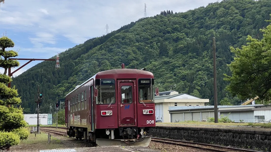
For cyclists, three options:
Option 1: Bring your own rinko bag (any train, any day)
Bag your bike and you can ride any regular train, any day, at the normal fare with no bicycle surcharge. This is the most flexible option and the one I’d plan around. The cars are small, though — one carriage, bus-like interior — so board outside commute hours if you can and keep your bagged bike out of the aisle. If the train is busy with school kids (mornings and late afternoons on weekdays), expect it to be genuinely awkward.
Option 2: Rent a rinko bag at a staffed station (¥500)
This is the detail that makes the line special: the railway itself rents rinko bags at its five staffed stations — Mino-Ota, Seki, Mino-shi, Gujo Hachiman, and Mino-Shirotori — for ¥500 per bag. That means you can ride the valley bag-free and still take the train one way.
The conditions, per the railway’s official page:
- Rental bags can only be used between staffed stations — you cannot get off at an unstaffed station with a rented bag, whether starting or ending your ride.
- Use is limited to trains running between 9:00 and 16:30.
- They may refuse rentals during peak travel periods.
- Inquiries by phone: Nagaragawa Railway sales office, 0575-23-3921 (10:00–17:00, Japanese).
Confirmed: the ¥500 fee is a flat per-bag charge, not a per-day rate, and you hand the bag back to station staff — since you can only ever alight at a staffed station on a rented bag, that staffed station is where the bag ends its trip with you, rather than needing to loop back to your starting point.
Option 3: The seasonal “Cycling Train” (no bag needed at all)
On designated dates the railway runs a Cycling Train program: specific regular services on which you can wheel your bike aboard as-is, no bag, for no extra charge beyond the normal fare. Confirmed 2026 dates: weekends/holidays on July 18, 19, 20, 25, 26; August 1, 2, 22, 23, 29, 30; September 5, 6, 12, 13, 26, 27, plus weekdays throughout August except the Obon peak (August 8–16). Covered sections include Seki → Gujo Hachiman and Gujo Hachiman → Hokuno on the way up, and Mino-Shirotori/Hokuno → Seki coming down.
The catches, and they’re real ones:
- Advance phone reservation is required — bookable from one month before, up to 16:00 three days before your ride, by phone (0575-23-3921, Japanese). No online booking as of this writing. Cancellations need to reach the railway by the business day before your ride.
- Capacity is 5 bikes per train. On a nice September Saturday, assume you’re not the only one who had this idea.
- Only the designated services on designated dates qualify. Every other train, the bag rule applies as normal.
Honest take: the Cycling Train sounds like the headline feature, but for a visiting cyclist it’s the hardest option to actually use — a Japanese-language phone reservation three days out, a 5-bike cap, and a date list that changes every year. If you have your own rinko bag, Option 1 beats it on every axis except convenience at the platform. Think of the Cycling Train as a bonus if your dates happen to line up, not something to build a trip around. Also worth knowing: the program is announced season by season (a notice on the railway’s site marked the end of the 2025 season in September), so always check the official page for the current year before planning.
The official route: 87 km down the Nagara River
This isn’t a case of “take a bike on a train and figure something out.” Gifu Prefecture publishes an official Seiryu Nagara River Cycling Map covering a designated 87 km route that starts at Hokuno Station — the railway’s upper terminus, in Gujo — and follows the river’s gradual descent through Gujo Hachiman, Mino, and Seki down to Gifu City. (A separate lower-section map continues another 40.5 km from Gifu toward Kaizu, but that’s flat suburban riding — the Gujo-to-Mino stretch is the scenic part you came for.)
The prefecture publishes the map in English as well as Japanese, as free PDFs — route sheet and info sheet — on the official page. Download both to your phone before you come; don’t count on picking up a paper copy locally.
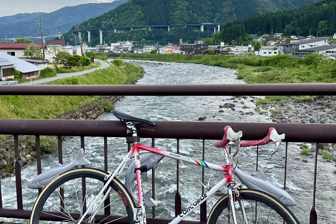
Two things make this pairing of route and railway genuinely good:
- The railway shadows the route the whole way. For most of the 87 km, you’re never far from a station. That’s your bail-out plan built in (more below).
- The gradient runs one way. Hokuno sits at the top of the valley. Take the train up with your bike, then ride down — a long, mostly gentle descent with the river beside you, instead of grinding upstream into the hills.
Honest take: “cycling route” here means a signed/mapped route on public roads shared with cars — not a separated bike path like Shimanami Kaido. Long stretches follow Route 156 and parallel prefectural roads, and traffic is real and consistent — I ride this stretch regularly, and it’s worth taking care on. The gradient is gentle throughout (the valley descends slowly all the way to the sea), and on a clear day the riverside sections are genuinely beautiful — ayu fishermen working the banks, clean mountain water visible through the current. Numbered kilometre-marker signs are posted at regular intervals along the route, which makes it easy to track progress and navigate. Some sections of road surface are rough enough to pose a puncture risk on road bike tyres, so check tyre pressure and carry a spare tube. Confident road cyclists deal with this kind of riding all the time; if your comfort zone is rail trails and greenways, this route will stress you out. Bring a rear light for the tunnels — that’s not optional. Tunnel locations and which bank the mapped route uses to avoid the worst traffic sections are marked as needs verification until I’ve re-ridden the full stretch with systematic notes.
Which stations actually work for assembly and bagging
Not every station on a 38-station rural line is somewhere you want to spend twenty minutes reassembling a bike. Based on local knowledge, the practical ones:
| Station | Staffed? | Why it works |
|---|---|---|
| Gujo Hachiman | Yes | Rinko bag rental, rental bicycles, retro wooden station building with a café, space to work outside the entrance. The natural base. |
| Mino-Shirotori | Yes | Bag rental; the upper valley’s main town, with shops nearby. Good start point if 87 km is more than you want. |
| Hokuno | No | Terminus and the route’s official start. Quiet, room to assemble — but unstaffed, so rented bags can’t be dropped here; this only works with your own bag or the Cycling Train. |
| Seki / Mino-shi / Mino-Ota | Yes | Bag rental at all three; sensible endpoints for the descent. Mino-Ota is the JR transfer point. |
One quirk to plan around: with a rented bag you must board and alight at staffed stations only. With your own bag, any station on the line is fair game — a meaningful flexibility difference on a line where 33 of 38 stations are unstaffed.
A realistic day for a serious cyclist
Here’s the plan I’d actually ride, assuming you’re based in Gujo Hachiman with your own rinko bag:
- Morning: bag the bike, board an early train at Gujo Hachiman Station, ride the rails up the valley to Hokuno (roughly 40 minutes; the upper section is the prettiest stretch of the line, so sit where you can see the river).
- At Hokuno: reassemble on the quiet platform-side space. You’re now at the top of the official 87 km route.
- Ride down. Hokuno → Mino-Shirotori → Gujo Hachiman is roughly 30 km of riverside descent — a relaxed half-day with lunch in Shirotori or back in Hachiman. Strong riders continue past Hachiman through the gorge sections to Mino or Seki (roughly 60–70 km total) and take the train back up, bagged, from any staffed station. Unless you’re already fit and clearly enjoying yourself, I’d stop in Shirotori — pushing on to Mino adds real distance for a fairly small change in scenery, and the lower gorge section is easy enough to come back for another day.
- Buffer the last train. Check the return timetable before you set off, not from a roadside in the late afternoon — and note you’ll be doing all of this on your phone in a river valley, so have mobile data sorted before the trip (see our connectivity guide).
Distances above are estimates from the map, not GPS-logged — marked for verification. The shape of the day is the reliable part: train up, ride down, railway as your safety net.
If you’re traveling without your own bike at all: Gujo Hachiman Station rents bicycles (6 regular bikes, ¥500/4 hours or ¥1,000/day plus a refundable ¥500 deposit, 9:00–16:30) — fine for exploring the town, but these are town bikes, not machines for the 87 km route. Serious riders should bring their own or arrange a proper rental elsewhere.
When it goes wrong: bailing out
This is the best thing about this particular route, so it deserves its own section. Weather turns, you bonk, you blow a tire beyond repair — on most rural Japanese rides you’d be stuck. Here, the railway parallels the route for its entire length, and with your own rinko bag you can bag up and board at whichever station you’ve limped to.
The caveats:
- Trains are infrequent. Roughly one per hour on the lower line, with longer gaps on the upper section — miss one and you’re sitting on a rural platform for an hour or more. (Exact current frequency: needs verification against the live timetable.)
- Unstaffed stations have no ticket window and often no shelter beyond a small waiting room. Board at the rear, take the numbered slip, pay the driver when you get off — cash.
- If you rented your bag, remember: staffed stations only. Factor that into where you decide to quit.
This might not be for you if…
- You want a car-free bike path. This is open-road riding with traffic and tunnels, not a greenway. If that’s a dealbreaker, the guided e-bike tours running out of Gujo Hachiman (shorter, quieter back-road loops) are a better fit.
- You can’t make a phone call in Japanese and were counting on the Cycling Train. The reservation is phone-only. Bring your own bag instead and the whole problem disappears.
- Your schedule is tight. Between low train frequency and a long route, this is a full committed day. Squeezing it between a morning check-out and an evening bus to Nagoya is how people end up riding R156 in the dark.
- You’re here in winter. The upper valley gets real snow roughly December–March. This is a green-season ride: late spring through autumn, with autumn colors along the river being the local pick.
- You have road bike tyres and no spare tube. Some stretches of the route surface are rough enough to cause punctures on narrow-section road tyres. Self-sufficient for flats is assumed — there is no bike shop between Gujo Hachiman and the lower valley towns.
Practical checklist (the stuff you’ll wish someone had told you)
- Cash, full stop. The railway’s farebox is cash; so are the bag rental, most shops upriver, and plenty of restaurants. No IC card (Suica/manaca) support on this line. See our rural Gujo basics guide — everything in it applies double on a bike.
- Convenience stores and vending machines thin out fast above Gujo Hachiman. Stock bottles and food in Hachiman or Shirotori; between towns it’s river, road, and not much else. Vending machines exist in the villages but don’t bet a hot day’s hydration on them.
- Toilets: staffed stations and roadside stations (michi-no-eki) along R156 are your reliable stops; between them, plan ahead.
- ATMs: post office ATMs in the towns take foreign cards; between towns, nothing. Carry the day’s cash from the start.
- Lights and a tube. Rear light for tunnels, and there is no bike shop between Gujo Hachiman and the lower valley towns — self-sufficiency for punctures is assumed.
- Weather: valley weather shifts fast, and the river rises quickly after rain upstream. If a typhoon or heavy-rain forecast is in play, the railway itself sometimes suspends sections — check the operator’s news page that morning.
A few local manners
- Assemble your bike out of the flow. Station entrances here are small; two meters to the side makes you a curiosity instead of an obstruction.
- Don’t ride through Gujo Hachiman’s old-town lanes. They’re narrow, full of pedestrians, and lined with open water channels. Walk the bike in the historic core — it’s a ten-minute push and the town deserves it.
- Anglers own the riverbank in summer. The Nagara is serious ayu-fishing water; give people casting from the banks room, and don’t scramble down to the river across private plots.
- On the train, keep your bagged bike upright and against the car end — locals will notice, in a good way.
Getting here with a bike
The approach from Nagoya is the same as for any Gujo trip — covered in full in our access guide. The cyclist-specific note: the rinko bag rule applies on JR and Meitetsu too, so your bike travels bagged from Nagoya to Mino-Ota (JR Takayama Line), then straight onto the Nagatetsu platform. Highway buses are a gray zone for bikes — under-floor trunk space varies by operator and bagged bikes are accepted at the driver’s discretion, so the all-rail route is the dependable one. (Bus-by-bus bike policy: needs verification.)
Last verified: July 2026 against the Nagaragawa Railway and Gifu Prefecture official sites. Cycling Train dates, bag rental conditions, and timetables change seasonally — check the railway’s official page before you travel, and treat all distances here as estimates until marked otherwise.